CATEGORIES:
BiologyChemistryConstructionCultureEcologyEconomyElectronicsFinanceGeographyHistoryInformaticsLawMathematicsMechanicsMedicineOtherPedagogyPhilosophyPhysicsPolicyPsychologySociologySportTourism
Physical Map of Northern IrelandPhysical Map of Scotland
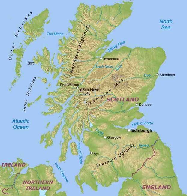
Scotland is one of the four constituent countries of the United Kingdom, lying in the northern part of the island of Great Britain, north of England. There are uplands on the south and the north, called Southern Uplands and Northwest Highlands, while the highest mountain range is the Grampian Mountains with Ben Nevis at 1343 meters above sea level, being the highest peak of Scotland and the British Isles. There are also numerous bodies of freshwater especially in the Northwest Highlands and the Grampian Mts including Loch Lomond and Loch Ness. Edingburgh is the capital and second largest city. The largest one is Glasgow, other urban areas include Aberdeen, Dundee, Inverness, Ayr and Fort William.
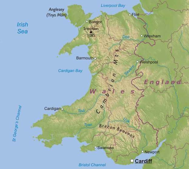
Wales is one of the four constituent nations of the United Kingdom, located in the south-west of Great Britain. Wales is bordered by England to the east and by sea in the other three directions: the Bristol Channel to the south, St George's Channel to the west, and the Irish Sea to the north. There are several islands off the Welsh mainland, the largest being Anglesey (Ynys Môn) in the north west. Much of Wales' landscape is mountainous, especially in the north and central regions. The Brecon Beacons are in the south and are joined by the Cambrian Mountains in mid-Wales. Snowdon at 1085 m is the highest elevation in Wales. Cardiff, on the Bristol Channel, is the capital of Wales. Other important cities in Wales are Swansea, Cardigan, Welshpool, Barmouth, Newport, Bangor, Flint and Wrexham.
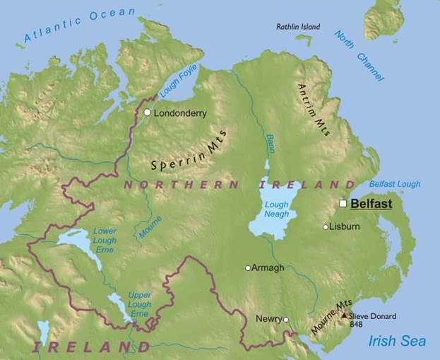
Physical Map of Northern Ireland
Northern Ireland is part of the United Kingdom, in the northeast of the island of Ireland. Lough Neagh, the largest freshwater lake on the British Isles, is located at the center of Northern Ireland. The Upper and Lower Lough Erne are situated on the south western region near the border with Ireland. There are substantial uplands in the Sperrin Mountains, Mourne Mountains and Antrim Plateau, with Slieve Donard in the Mournes reaching 848 meters above sea level, making it the highest peak of Northern Ireland.
Belfast is the capital of Northern Ireland. There are five settlements with city status: Belfast, Londonderry, Newry, Armagh and Lisburn. Date: 2015-12-24; view: 1194
|
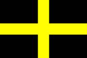 Aside from the Red Dragon, Wales also has use of another flag, the flag of Saint David.
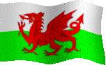 Flag of Wales. "The Red Dragon"